
its new highway.
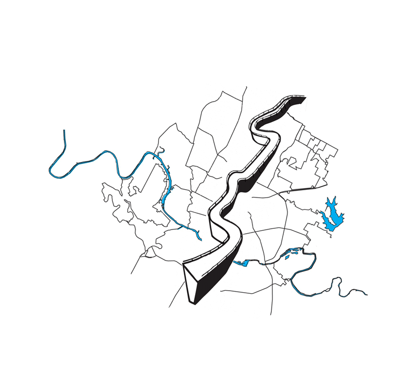
The downtown section was completed and dedicated in 1962, but by 1966 IH-35 had become too small for the amount of traffic in the area. “Because of the University of Texas and high real estate value on the West side, obtaining right-of-way” proved an expensive and ineffectual way to expand the roadway. In the end, two lanes of the freeway were elevated above street level “from 51st Street to Martin Luther King Boulevard” and dubbed the Upper Deck. This solution provided some relief to the interstate and ñalso provided a more effective way of dispersing exhaust fumes by letting them fall down onto residents of East Austin and downtown. The lack of foresight, judgment or possibly compassion has been called ‘environmental racism.’”
The bottom level of the interstate underwent a renovation after failing to comply with standards set in the 1980s, but although now up to code, this part of IH-35 still remains “one of the most dangerous stretches of highway in Texas” (Bryce, 1). Factors such as speed limit, short entrance and exit ramps, and the inability to cross from one side of the freeway to the other make IH-35 not only an unsafe roadway traversed by thousands each day, but also a visible and tangible boundary between the communities of East and West Austin.


